Within Coastal Lights
When harbour lights look like UFOs
Boats, buoys, lighthouses and offshore structures can create convincing patterns that look like hovering or triangular objects from shore.
On this page
- What lights fill Narragansett Bay and nearby waters
- How separate lights become one apparent object
- How charts, bearings and vessel tracks can test a report
Page outline Jump by section
Introduction
Many Rhode Island coastal UFO reports begin with a simple but powerful problem: people are looking out across dark water at lights whose true distance is difficult to judge. In Narragansett Bay and the offshore waters beyond it, navigation aids, vessel lighting, lighthouse beams and newer offshore structures can produce patterns that seem far stranger than they really are. A witness may honestly believe they are watching one large object hovering over the sea when they are actually seeing several unrelated lights lined up along different ranges and bearings.
 This matters because some of the most puzzling Rhode Island sightings involve descriptions of stationary lights, triangular formations, glowing objects over the water or apparent craft that suddenly change size. In many cases, the crucial question is not whether the light existed, but whether the witness correctly estimated where it was. Along the state’s coast, that is often the hardest part of the observation to establish.
What lights fill Narragansett Bay and nearby waters
Rhode Island’s shoreline is heavily marked for marine navigation. Narragansett Bay contains channels, passages, islands, lighthouses, buoys and other navigational aids designed to guide vessels day and night. NOAA’s Coast Pilot notes that navigation in the bay is relatively easy because the area is extensively marked by such aids.[Nautical Charts]nauticalcharts.noaa.govNautical Charts Narragansett BayNautical ChartsNarragansett BayMay 24, 2026 — Navigation of the bay is easy during day or night in clear weather as it is marked by navig…
For a mariner, these lights provide useful information. For someone standing on a beach, headland or harbour road at night, they can create a surprisingly complex visual scene.
Common sources include:
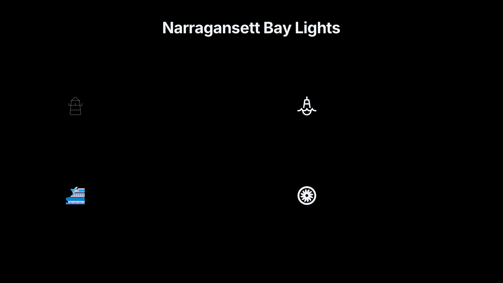
- Lighthouse beacons around Newport, Conanicut Island and the bay approaches.
- Lighted buoys marking channels and hazards.
- Ferries travelling between coastal destinations.
- Fishing vessels operating at night.
- Commercial shipping entering or leaving regional ports.
- Pilot boats, Coast Guard craft and research vessels.
- Offshore wind-energy structures and their aviation warning lights.
- Shoreline industrial and harbour lighting reflected across water.
Each light source follows its own pattern. Some flash at regular intervals. Some appear steady. Some disappear behind waves and then reappear. Others move slowly enough that motion is difficult to perceive without a fixed reference point.
The result can look much less like marine traffic and much more like a structured object suspended over the horizon.
How separate lights become one apparent object
The most common mistake in coastal UFO observations is not misidentifying a single light. It is mentally combining several lights into one object.
Across open water, the eye loses many of the depth cues normally used to judge distance. A buoy two miles away, a fishing vessel six miles away and a ferry ten miles away may all appear against the same dark background. Because the observer cannot easily estimate range, the brain may interpret the lights as belonging to one craft.
This can create several familiar UFO descriptions.
The apparent triangle
One recurring report type involves three lights arranged in a triangular pattern.
The explanation is often less dramatic than the geometry suggests. Three unrelated lights at different distances can appear fixed relative to one another from a particular viewing position. Because the observer assumes the lights belong together, the pattern becomes a single triangular object rather than three separate navigation sources.
This effect is especially convincing when the lights move slowly or when atmospheric haze obscures the darker space between them.
The hovering object
A vessel moving directly towards or away from the observer can seem motionless for long periods.
At sea, movement across the observer’s field of view is often easier to detect than movement along the line of sight. A boat approaching from many miles away may appear as a stationary light suspended over the water. Only after several minutes does the change become noticeable.
Witnesses sometimes interpret this delayed perception as an object that suddenly accelerated after hovering.
The giant object illusion
Distance errors can dramatically inflate estimated size.
If an observer assumes a light is one mile offshore when it is actually ten miles away, any estimate of the object’s dimensions becomes unreliable. A cluster of vessel lights may therefore seem attached to a huge craft. Later descriptions often emphasise enormous size because the witness is unknowingly using an incorrect range estimate as the basis for calculation.
Why water makes distance estimates unreliable
The open-water horizon strips away visual context.
On a city street, a person can compare a light with buildings, trees, roads and other familiar objects. Over Narragansett Bay or Rhode Island Sound, those reference points may vanish entirely.
Several additional factors worsen the problem:
- Darkness removes shoreline detail.
- Humidity and sea haze soften outlines.
- Temperature inversions can distort apparent position.
- Reflections on water create duplicate or elongated lights.
- Slight elevation changes alter the apparent horizon line.
- Curvature of the shoreline hides portions of vessels and structures.
Under these conditions, witnesses can be highly confident while still being substantially wrong about range, altitude and speed.
That confidence is important to understanding many Rhode Island reports. A sincere witness is not necessarily describing a false observation. They may be accurately describing what they perceived while unknowingly misjudging the geometry behind it.

Offshore wind lights add a new source of confusion
Older Rhode Island sighting reports mainly involved lighthouses, buoys and vessel traffic. More recent coastal observations have acquired another source of unusual lights: offshore wind developments.
Federal visualisation studies for the Rhode Island and Massachusetts wind-energy areas specifically examined how turbine lighting appears at night from shore. Offshore turbines use aviation obstruction lighting that can produce lines or clusters of red flashing lights visible at considerable distances.[Bureau of Ocean Energy Management]boem.govBureau of Ocean Energy ManagementVisualization Study For The Massachusetts And Rhode…A project to develop daytime and nighttime photom…
Observers unfamiliar with the layout of a wind farm may see:
- Multiple lights appearing simultaneously over the ocean.
- Flashing lights arranged in geometric patterns.
- Lights that appear suspended above the horizon.
- Apparent movement as atmospheric conditions change.
The visual effect can be stronger at night than many people expect. Research on wind-farm lighting notes that such lights can remain visible over long distances and may dominate the nocturnal landscape under suitable atmospheric conditions.[arXiv]arxiv.orgQuantifying the visual impact of wind farm lights on the nocturnal landscapeOctober 4, 2023…
As offshore projects such as Revolution Wind become part of the regional seascape, future Rhode Island UFO reports may increasingly involve lights that did not exist in earlier decades.[Revolution Wind]revolution-wind.comRevolution WindOffshore wind energy for Rhode Island and Connecticut | ØrstedRevolution Wind is the first commercial-scale offshore wind…
How charts, bearings and vessel tracks can test a report
The strongest way to investigate a coastal light sighting is to reconstruct what the witness was actually looking towards.
A useful analysis normally begins with three questions:
- Where exactly was the witness standing?
- What compass bearing were they looking along?
- What was the precise time of the observation?
Once those details are known, several tools become available.
Nautical charts
Modern nautical charts show:[nauticalcharts.noaa.gov]nauticalcharts.noaa.govNautical Charts Narragansett BayNautical ChartsNarragansett BayMay 24, 2026 — Navigation of the bay is easy during day or night in clear weather as it is marked by navig…
- Lighthouses.
- Lighted buoys.
- Channel markers.
- Harbour entrances.
- Offshore structures.
A chart can reveal whether a supposedly mysterious light sits directly along a known navigation route or aligns with a recognised aid to navigation.[OceanGrafix]oceangrafix.com13221 Narragansett BayNOAA Nautical Chart 13221 Narragansett BayUp-to-date, print-on-demand NOAA nautical chart for U.S. waters for recreational and…
Vessel tracking
Many commercial vessels broadcast Automatic Identification System (AIS) signals that record position, course and speed. AIS was developed so ships and coastal authorities could track marine traffic and avoid collisions.[International Maritime Organization]imo.orgInternational Maritime OrganizationAIS transponders31 Dec 2004 — Automatic identification systems (AIS) transponders are designed to be c…
Historical AIS data can sometimes show whether a fishing vessel, ferry, tanker or cargo ship occupied the exact location described by witnesses. Public tracking services have made this form of checking far easier than it was during earlier UFO flap periods.[MarineTraffic]marinetraffic.comDiscover information and vessel positions for vessels around the world. Search the MarineTraffic ships database of more than…
Comparing multiple viewpoints
The most reliable coastal investigations involve observers at different locations.
If two witnesses view the same light from separated positions, triangulation becomes possible. Investigators can estimate actual distance rather than relying on one person’s impression. Many older Rhode Island reports lack this kind of corroboration, which is one reason they remain difficult to classify confidently.
What this means for Rhode Island UFO reports
Navigation lights do not explain every unusual coastal sighting, but they explain why some reports become stranger as they are retold.
The central issue is often not the light itself but the witness’s estimate of where it was. Rhode Island’s bays, channels and offshore routes place large numbers of legitimate lights in the same field of view. A lighthouse flash, buoy marker, fishing vessel and distant offshore structure can appear to merge into one object when viewed across dark water.
That does not mean every coastal UFO report is solved. Some accounts contain details that remain uncertain, incomplete or impossible to reconstruct. It does mean that any investigation of a Rhode Island sighting over water should begin with navigation aids, vessel positions and bearings before moving to more exotic explanations.
In a state where so many sightings occur along the shoreline, the difference between a mysterious craft and a navigational light can be measured not in what was seen, but in how far away it really was.
Amazon book picks
Further Reading
Books and field guides related to When harbour lights look like UFOs. Use these as the next step if you want deeper reading beyond the article.
The UFO Experience
Relevant to analysing reports involving lights and uncertain distances.
Why People Believe Weird Things
Rating: 4.0/5 from 7 Google Books ratings
Explains how ordinary observations become extraordinary interpretations.
The Demon-Haunted World
Rating: 4.5/5 from 43 Google Books ratings
Strong fit for evaluating misidentified lights and observational errors.
eBay marketplace picks
Marketplace Samples
Example marketplace items related to this page. Use the search link to explore similar finds on eBay.



Endnotes
1.
Source: nauticalcharts.noaa.gov
Title: Nautical Charts Narragansett Bay
Link:https://nauticalcharts.noaa.gov/publications/coast-pilot/files/cp2/CPB2_C06_WEB.pdf
Source snippet
Nautical ChartsNarragansett BayMay 24, 2026 — Navigation of the bay is easy during day or night in clear weather as it is marked by navig...
Published: May 24, 2026
2.
Source: arxiv.org
Link:https://arxiv.org/abs/2310.05981
Source snippet
Quantifying the visual impact of wind farm lights on the nocturnal landscapeOctober 4, 2023...
Published: October 4, 2023
3.
Source: revolution-wind.com
Link:https://revolution-wind.com/
Source snippet
Revolution WindOffshore wind energy for Rhode Island and Connecticut | ØrstedRevolution Wind is the first commercial-scale offshore wind...
4.
Source: oceangrafix.com
Title: 13221 Narragansett Bay
Link:https://www.oceangrafix.com/chart/detail/13221-Narragansett-Bay
Source snippet
NOAA Nautical Chart 13221 Narragansett BayUp-to-date, print-on-demand NOAA nautical chart for U.S. waters for recreational and...
5.
Source: marinetraffic.com
Link:https://www.marinetraffic.com/
Source snippet
Discover information and vessel positions for vessels around the world. Search the MarineTraffic ships database of more than...
6.
Source: ais.com
Link:https://www.ais.com/
Source snippet
AIS helps you unify systems, automate processes, and unlock insights with tailored business applications...Read more...
7.
Source: boem.gov
Link:https://www.boem.gov/renewable-energy/state-activities/visualization-study-massachusetts-and-rhode-island-wind-energy-0
Source snippet
Bureau of Ocean Energy ManagementVisualization Study For The Massachusetts And Rhode...A project to develop daytime and nighttime photom...
8.
Source: imo.org
Link:https://www.imo.org/en/ourwork/safety/pages/ais.aspx
Source snippet
International Maritime OrganizationAIS transponders31 Dec 2004 — Automatic identification systems (AIS) transponders are designed to be c...
Additional References
9.
Source: lloydslistintelligence.com
Link:https://www.lloydslistintelligence.com/solutions/ais-seaorbis
Source snippet
AIS SeaOrbisNext-generation AIS vessel tracking with 100% fleet coverage, 98% near real-time positions, and multi-source intelligence for...
10.
Source: betterbayalliance.org
Link:https://betterbayalliance.org/education/aids-to-navigation/
Source snippet
Aids to NavigationTwo Types of Aids to Navigation: Buoys and Beacons; Both have various shapes, sounds and light characteristics. Buoys f...
11.
Source: Wikipedia
Link:https://en.wikipedia.org/wiki/Automatic_identification_system
Source snippet
Automatic identification systemThe automatic identification system (AIS) is an automatic tracking system that uses transponders on shi...
12.
Source: aishub.net
Link:https://www.aishub.net/
Source snippet
Free AIS vessel tracking | AIS data exchange | JSON/XML ship...AISHub is a FREE AIS data sharing service which provides access to real t...
13.
Source: sailingissues.com
Link:https://sailingissues.com/navcourse9.html
Source snippet
Lights, buoys – aids to navigation RYA courses.Navigational aids, navaid s – also known as aids to navigation, AtoN s – are special struc...
14.
Source: etsy.com
Link:https://www.etsy.com/uk/market/narragansett_bay_nautical_map?ref=lp_queries_internal_bottom-15
Source snippet
Narragansett Bay Nautical MapCheck out our narragansett bay nautical map selection for the very best in unique or custom, handmade pieces...
15.
Source: rinewstoday.com
Link:https://rinewstoday.com/nantucketers-werent-supposed-to-see-vineyard-winds-lights-at-night-nantucket-current/
Source snippet
Nantucketers weren't supposed to see Vineyard Wind's...30 Dec 2023 — The company stated it agreed to install an ADLS “to reduce nighttim...
16.
Source: latimes.com
Link:https://www.latimes.com/environment/story/2026-04-27/offshore-wind-farms-rise-along-rhode-islands-coast-even-as-trump-tries-to-stop-them
Source snippet
Offshore wind farms rise along Rhode Island's coast, even...27 Apr 2026 — Offshore wind turbines roughly three times the height of the S...
17.
Source: govinfo.gov
Title: GOVPUB I c5d22beb9d285e9cd207cb75e096b1da
Link:https://www.govinfo.gov/content/pkg/GOVPUB-I-c5d22beb9d285e9cd207cb75e096b1da/pdf/GOVPUB-I-c5d22beb9d285e9cd207cb75e096b1da.pdf
Source snippet
Evaluation of Lighting Schemes for Offshore Wind Facilities...Much of the literature appears to be based on direct lighting of the water...
18.
Source: facebook.com
Link:https://www.facebook.com/groups/1555527638021902/posts/4021233094784665/
Source snippet
The closest of the turbines in this reel is 21 miles offshore. The near shore oceans...
Topic Tree